Maps have long served as indispensable tools for navigation, guiding travelers across land and sea, and connecting distant regions. However, their role extends far beyond mere direction-finding; they are also invaluable windows to the past, offering glimpses into the rise and fall of civilizations, the evolution of cultures, and the enduring human imprint on the world's geography.
These cartographic chronicles, etched with intricate lines and vibrant colors, provide a tangible framework for understanding history, allowing us to visualize the vast expanse of empires, trace the routes of ancient trade networks, and follow the intrepid voyages of explorers who charted new lands.
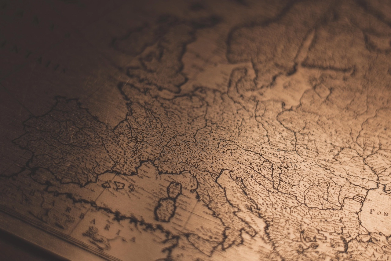
From the meticulously crafted maps of ancient civilizations like Mesopotamia and Egypt to the detailed atlases of the Enlightenment, historical maps reveal the ever-changing contours of the world and the forces that shaped it. We can visualize the sprawling Roman Empire, its network of roads, cities, and fortifications stretching across Europe and the Middle East. We can trace the Silk Road, a lifeline connecting East and West, facilitating the exchange of goods, ideas, and cultures. And we can follow the voyages of Christopher Columbus, Vasco da Gama, and other intrepid navigators as they expanded the horizons of human knowledge.
Historical maps not only provide a visual context for understanding the past, but they also serve as powerful storytelling tools. They breathe life into historical narratives, allowing us to better comprehend the spatial relationships between different regions and cultures, and the geographical factors that influenced the course of history.
Consider the detailed maps of medieval Europe, depicting the boundaries of kingdoms, the locations of key cities, and the movement of armies. These maps provide a tangible framework for understanding the political and military conflicts that shaped the era. Similarly, maps of the American Civil War illustrate the strategic positions of opposing armies, the movements of troops, and the locations of key battles.
Beyond their narrative power, historical maps also offer a glimpse into the art and science of cartography, a discipline that has evolved alongside human civilization. From the early clay tablets of Mesopotamia to the sophisticated digital maps of today, cartographers have continuously refined their methods, striving to accurately represent the world on paper or screen.
The study of historical maps reveals the fascinating interplay between human ingenuity and geographical realities. Mapmakers have grappled with the challenges of depicting a three-dimensional world on a two-dimensional surface, employing various techniques and projections to convey spatial relationships and distances. Their efforts reflect the evolving understanding of the world throughout history, from the flat-earth conceptions of antiquity to the modern appreciation of a spherical planet.
In today's digital age, historical maps continue to hold immense value. They are digitized and archived in vast repositories, accessible to researchers, educators, and the general public alike. Through interactive online maps and virtual reality experiences, we can explore these maps in unprecedented ways, immersing ourselves in the world they depict.
As we navigate the complexities of the present, historical maps serve as a reminder of the enduring power of geography and the interconnectedness of human history. They are not merely relics of the past; they are living links to the civilizations that came before us, offering insights into the forces that have shaped our world and the enduring legacies left behind.
By studying historical maps, we gain a deeper appreciation for the world we inhabit, the civilizations that shaped it, and the intricate tapestry of human existence woven through time. These cartographic chronicles remind us that the past is not a distant abstraction but an integral part of our present, offering valuable lessons and perspectives as we chart our own course through history.
Related Posts

Mapping the Future: Envisioning the World with Cartography’s Guidance
Maps have long served as indispensable tools for navigating the world, providing...
Read More

Preserving the Past: Restoring and Digitizing Historical Maps
Across centuries, maps have served as invaluable tools for navigation, explorati...
Read More

Maps as Educational Allies: Enhancing Learning with Visual Aids
In the realm of education, maps stand as invaluable allies, providing visual aid...
Read More

The Art of Cartography: A Journey Through the Evolution of Mapmaking
From the rudimentary sketches of ancient civilizations to the sophisticated digi...
Read More