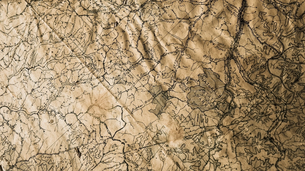
Across centuries, maps have served as invaluable tools for navigation, exploration, and understanding the world around us. These intricate cartographic artifacts, meticulously crafted by hand, hold a wealth of historical and cultural significance. However, the delicate nature of these maps and the passage of time have rendered many of them vulnerable to deterioration and loss.
In recent years, a dedicated community of conservators, historians, and librarians has embarked on a crucial mission to preserve and digitize these precious maps, ensuring their legacy for future generations. This painstaking process involves careful restoration techniques, digitization technologies, and meticulous archival practices.
Restoring Fragile Treasures
The first step in preserving historical maps is to assess their condition and identify any damage or deterioration. Conservators employ a range of specialized techniques to address these issues, including:
- Cleaning: Removing dirt, grime, and other surface contaminants
- Mending: Repairing tears, holes, and creases
- Humidification: Restoring moisture balance to prevent further damage
- Deacidification: Neutralizing acidic compounds that cause paper degradation
These meticulous restoration efforts breathe new life into these fragile treasures, ensuring their physical integrity for years to come.
Digitizing for Preservation and Access
Once restored, historical maps undergo the process of digitization, converting them into high-resolution digital images. This meticulous process involves:
- High-resolution scanning: Capturing detailed images of the map's surface
- Color correction: Enhancing the map's color balance and vibrancy
- Geometric correction: Ensuring accurate representation of the map's dimensions
- Metadata creation: Providing contextual information about the map's origin, creator, and historical significance
Digitization serves multiple purposes:
- Preservation: Creating a digital backup of the physical map, safeguarding it from further deterioration
- Access: Making the map widely accessible to researchers, educators, and the general public
- Research: Enabling the use of advanced digital tools for analysis and interpretation
Archiving for Future Generations
Preservation and digitization efforts are incomplete without proper archiving practices. These practices ensure that digitized historical maps are stored securely, organized systematically, and accessible for future generations.
- Secure storage: Protecting the digital files from loss or corruption
- Organized metadata: Ensuring easy retrieval and identification of specific maps
- Public access: Providing online access to digitized maps through libraries, museums, and digital archives
Through a combination of careful restoration, advanced digitization techniques, and responsible archiving practices, we can ensure that these precious cartographic artifacts continue to inform, inspire, and connect us to our past for generations to come. Preserving historical maps is not merely an act of historical preservation; it is a testament to the enduring power of human knowledge and our collective pursuit of understanding the world around us.
Related Posts
Mapping the Future: Envisioning the World with Cartography’s Guidance
Maps have long served as indispensable tools for navigating the world, providing...
Read More
Maps as Educational Allies: Enhancing Learning with Visual Aids
In the realm of education, maps stand as invaluable allies, providing visual aid...
Read More
The Art of Cartography: A Journey Through the Evolution of Mapmaking
From the rudimentary sketches of ancient civilizations to the sophisticated digi...
Read More
Sacred Landscapes: Unveiling Biblical Narratives with Maps
Journey through the sacred landscapes of the Bible, where maps serve as illumina...
Read More


